Michigan Road in Indiana

Michigan Road Sign
Michigan Road Historic Byway in Indiana

Historic Michigan Road – Indiana’s Pioneer Highway

Northern Indiana Map 1836
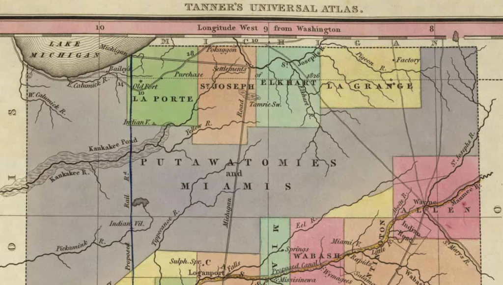
Northern Indiana Map from 1836, showing Michigan Road from Michigan City to the settlements that became South Bend, then south to Loganport (Logansport)
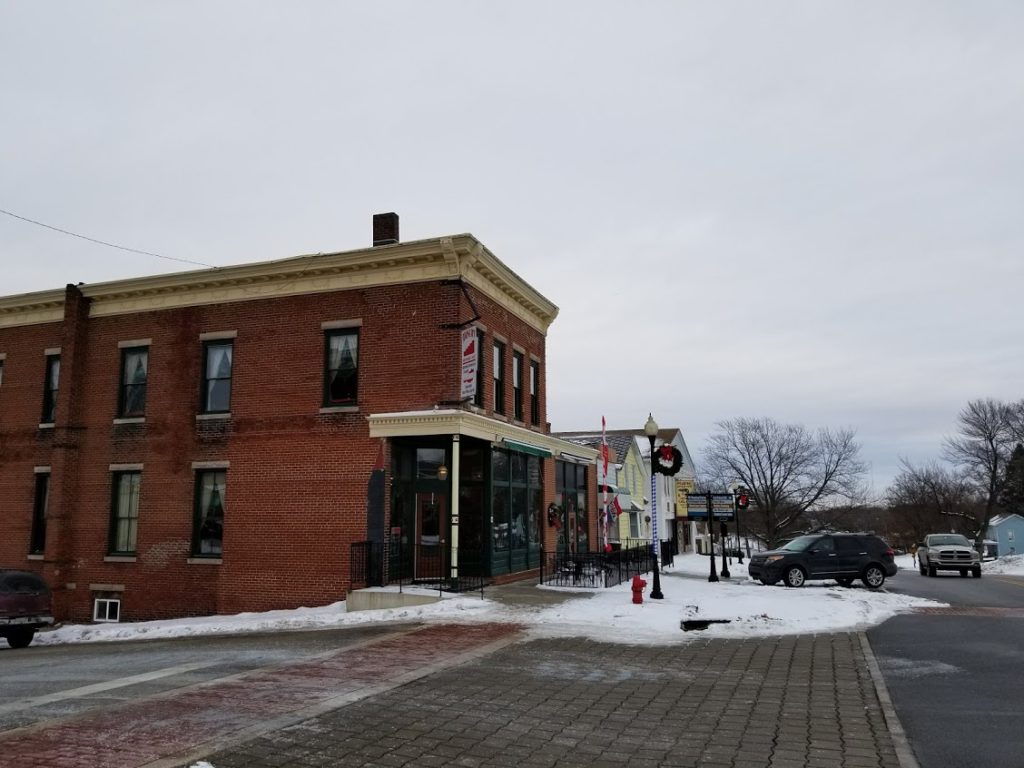
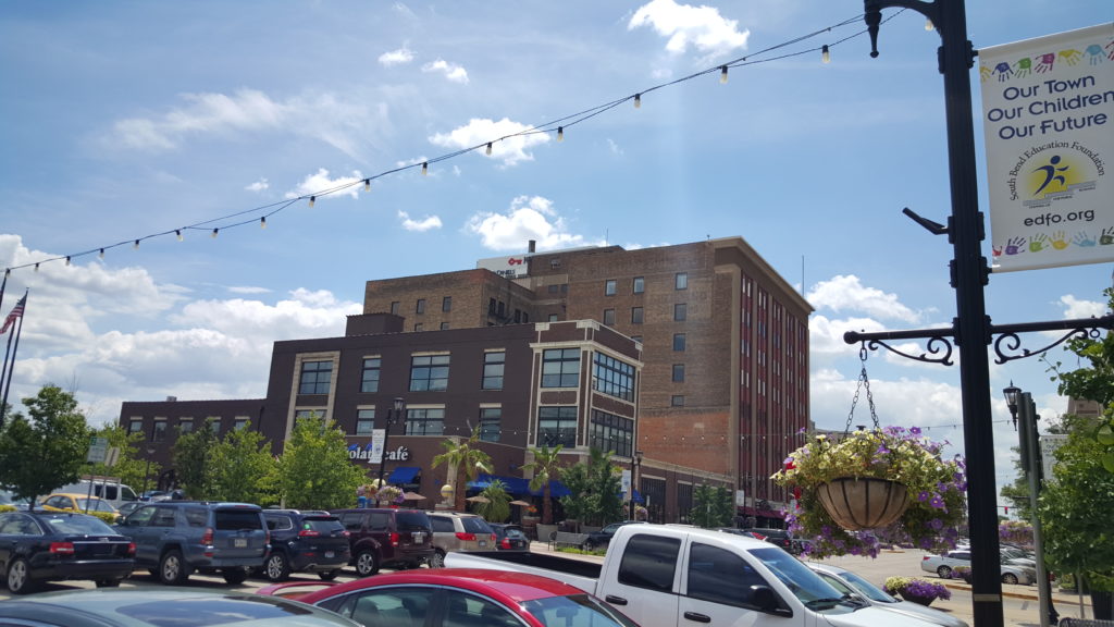
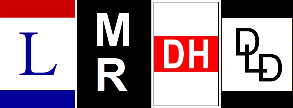
North to south – from Michigan City south:

Mount Baldy, Indiana Dunes National Park - Michigan City
Mount Baldy, Indiana Dunes National Park – Michigan City

Michigan City

New Carlisle

New Carlisle

South Bend Chocolate Cafe
Lincoln Highway-Michigan Road-Dixie Highway-Detroit Lincoln Denver Highway
Lincoln Highway, Michigan Road, Dixie Highway, and Detroit-Lincoln-Denver Highway – road markers of historic auto routes established by the early 1920’s

South Bend – crossroad of Lincoln Highway Historic Byway and historic Dixie Highway, as well as Michigan Road Historic Byway and historic Detroit-Lincoln-Denver Highway

Palmer Community Complex, Lakeville
Palmer Community Complex, Lakeville, Indiana – Old Lakeville High School

Lakeville

Plymouth

Rochester

Logansport

Burlington

Michigantown

Kirklin

Downtown Indianapolis

Indianapolis

Shelbyville

Greensburg

Versailles

      • Versailles State Park

Madison

      • Clifty Falls State Park

Indiana-Kentucky state line (Ohio River)

Leave a Reply

Your email address will not be published. Required fields are marked *