West to east:
Munising Area
1. Laughing Whitefish Falls Area
-
-
- Laughing Whitefish Falls State Park – Trail (1 mile, moderately trafficked, easy, dogs allowed)
- Rock River Falls – Trail (1.8 miles, moderate, dogs allowed)
-
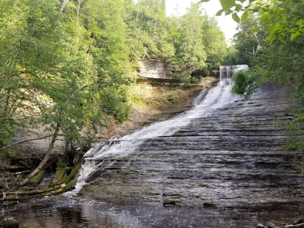
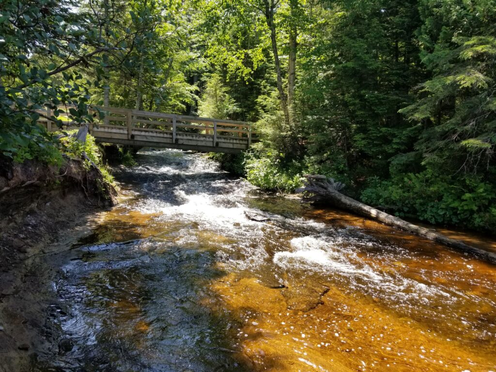
2. Wagner Falls Area
-
-
- Wagner Falls State Scenic Site – Trail (0.2 miles, lightly trafficked, easy, dogs allowed)
- Alger Falls
-
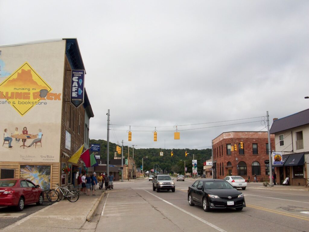
3. Munising
-
-
- Pictured Rocks Interpretive Center
- Falling Rock Cafe & Bookstore
-
4. Munising Bay
-
-
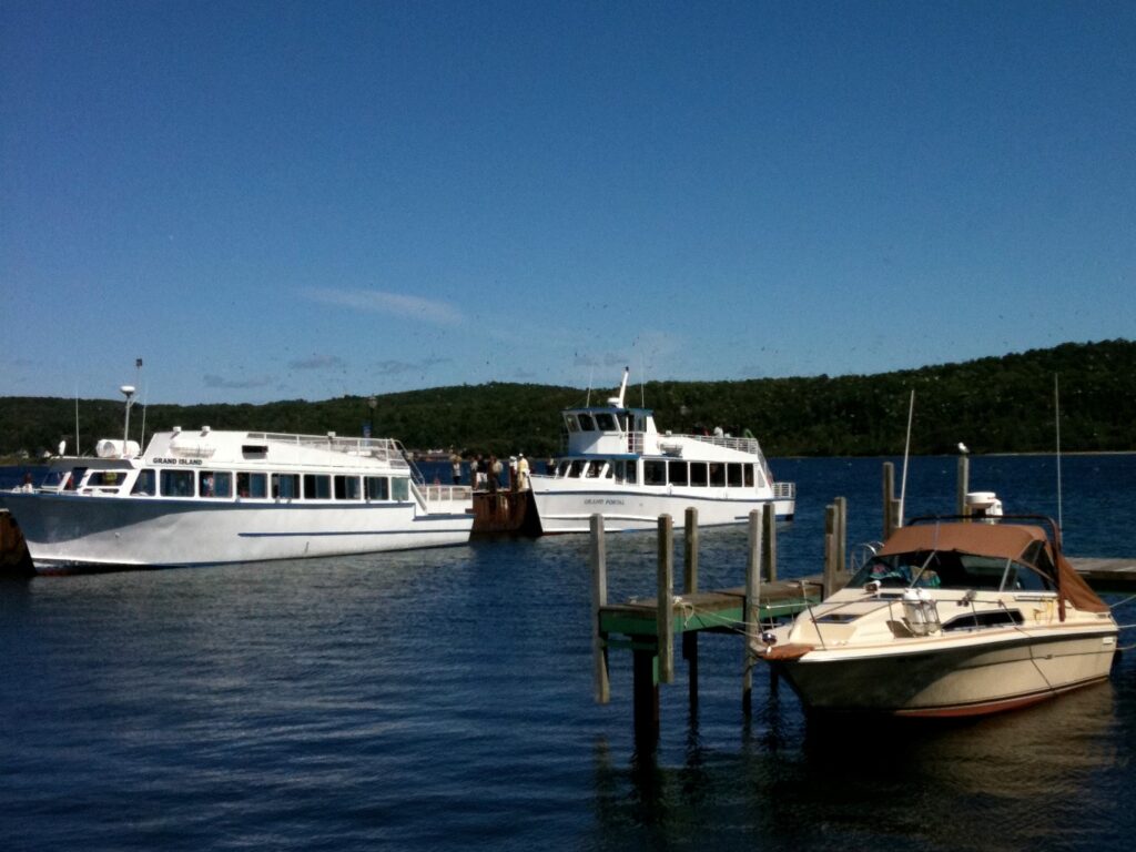
- Pictured Rocks Cruises
- Glass Bottom Shipwreck Tours
-
5. Grand Island National Recreation Area
-
-
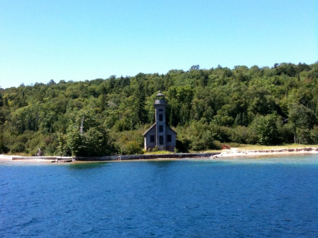
- East Channel Lighthouse
- Grand Island North Lighthouse
-
Pictured Rocks National Lakeshore
1. Munising Falls Area
-
-
- Munising Falls – Trail (0.4 miles, heavily trafficked, easy, dogs allowed)
- Munising Falls Visitor Center
-
2. Sand Point
-
-
- Sand Point Marsh – Boardwalk Trail (0.6 miles, loop, easy, no dogs)
- Sand Point Beach
-
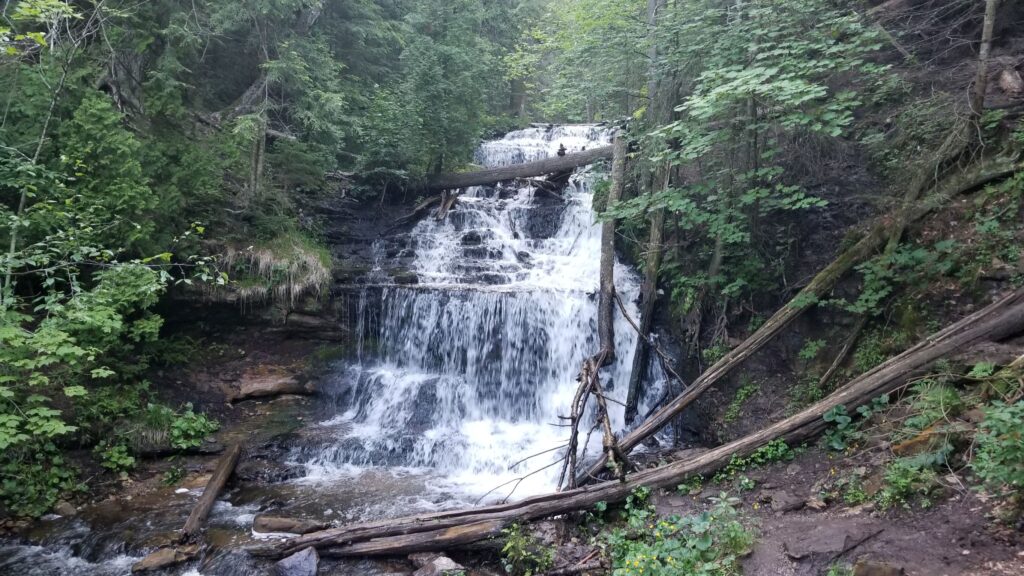
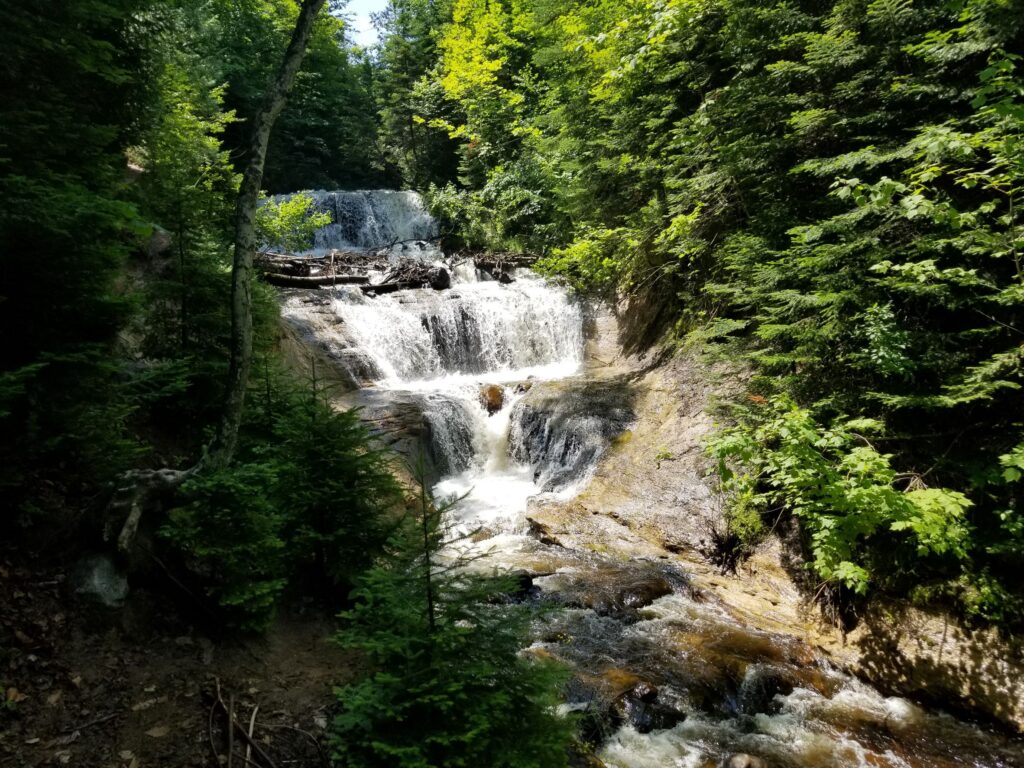
3. Miners Falls Area
-
-
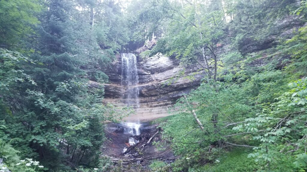
- Miners Falls
- Miners Falls Trail (1.2 miles, heavily trafficked, easy, dogs allowed)
-
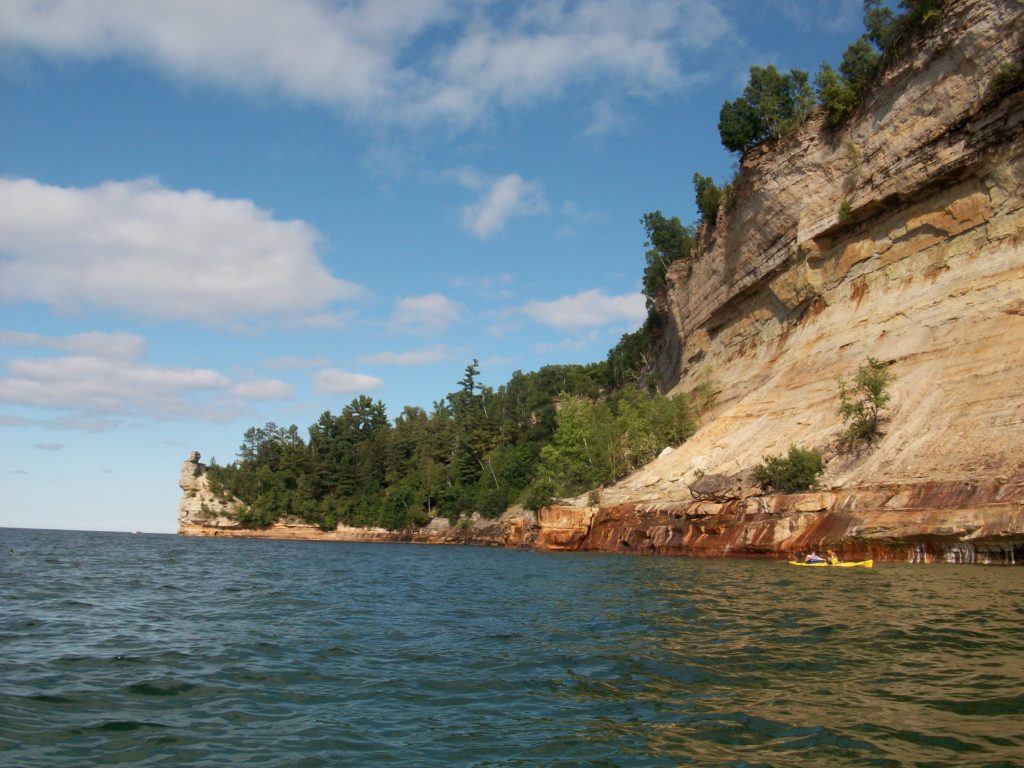
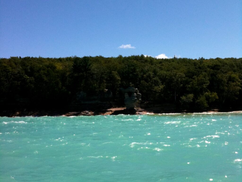
4. Miners Castle
-
-
- Lower Overlook
- Upper Overlook
-
5. Miners Beach
-
-
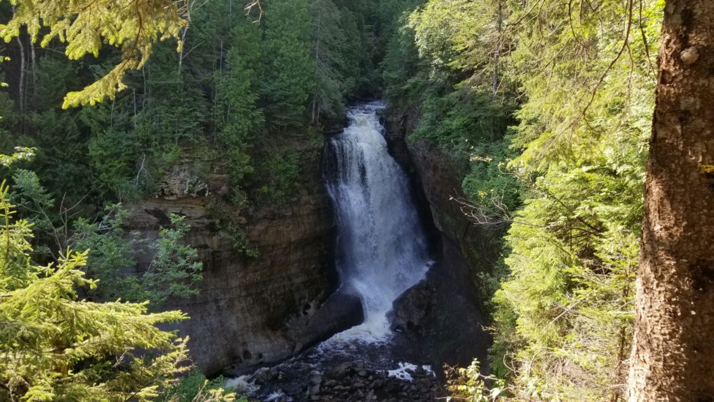
- Elliot Falls
- Bridalveil Falls
-
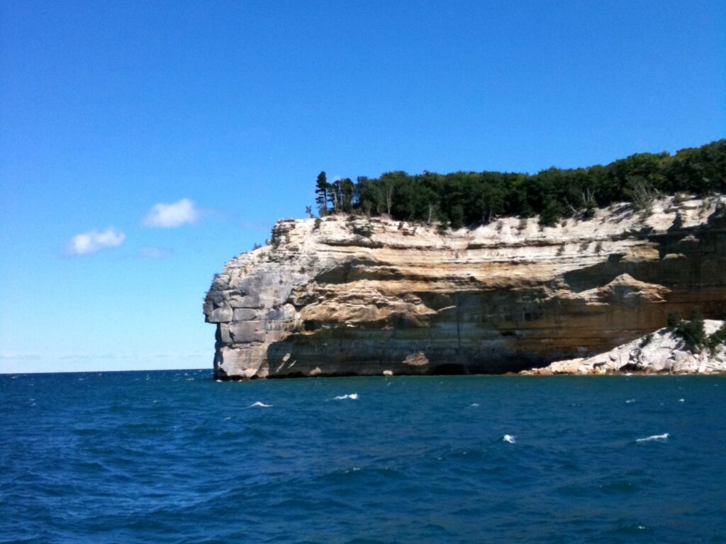
6. Indian Head Point
-
-
- Grand Portal Point
- Battleship Row
-
7. Chapel Beach Loop (6.4 miles, heavily trafficked, moderate, no dogs)
-
-
- Chapel Falls
- Chapel Rock
-
8. Au Sable Point
-
-
- Hurricane River Falls
- Au Sable Light Station – Trail (3.1 miles, moderately trafficked, easy, no dogs)
-
9. Grand Sable Area
-
-
- Grand Sable Dunes
- Grand Sable Visitor Center
-
10. Sable Trail (North Country Trail) (0.6 miles, lightly trafficked, easy, dogs allowed)
-
-
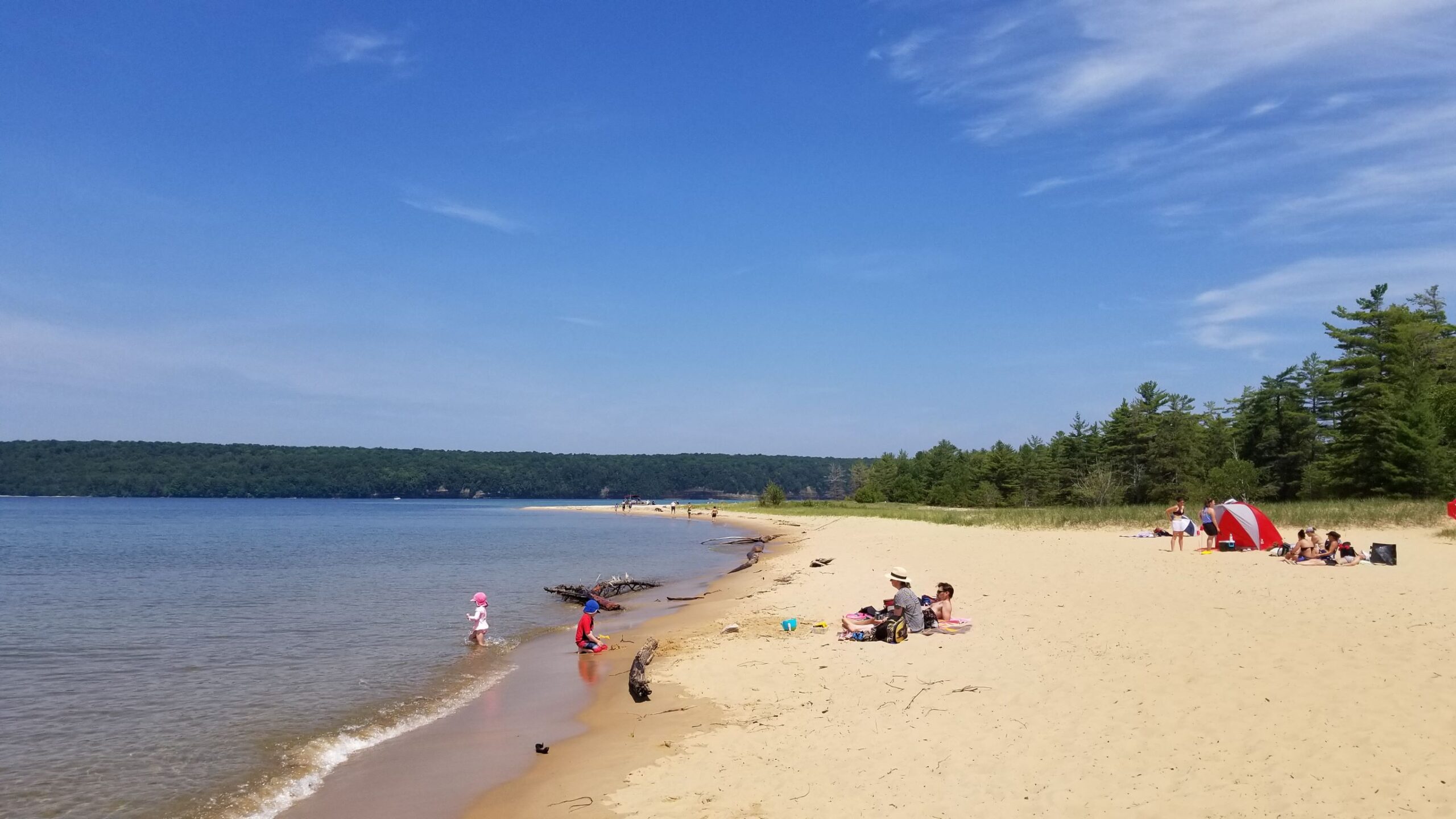
- Sable Falls
- Sable Beach
-
Grand Marais Area
1. Grand Marais Channel
-
-
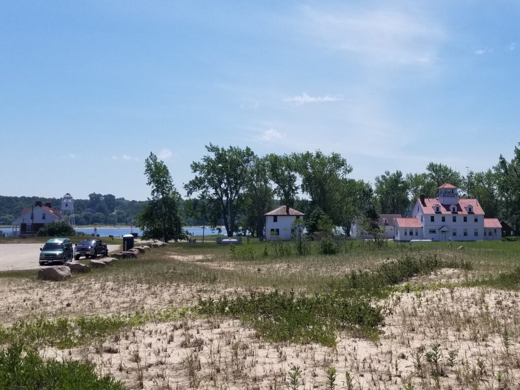
- Light Keeper’s House Museum & Inner Lighthouse
- Coast Guard Station
-
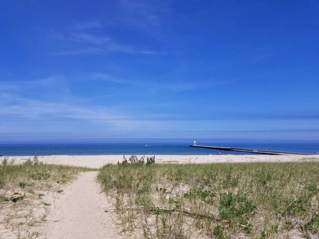
2. Grand Marais Lakefront
-
-
- Grand Sable Dunes
- Grand Marais Outer Lighthouse
-
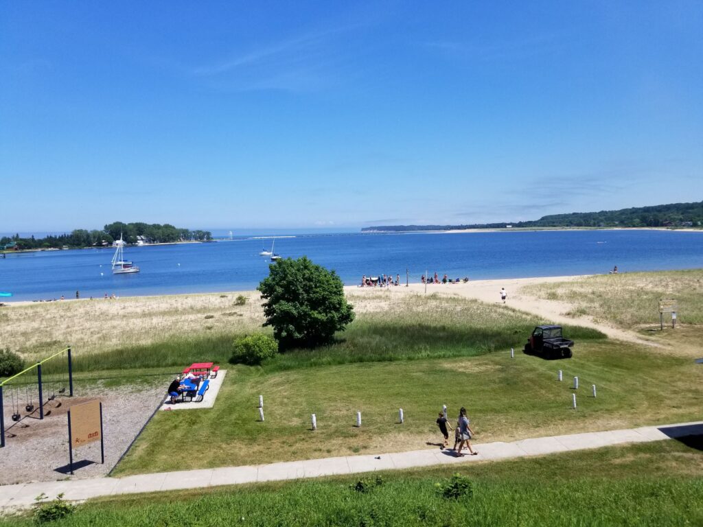
3. Grand Marais Bay
-
-
- Bayshore Park
- Grand Marais Historical Marker
-
4. Downtown Grand Marais – Lake Avenue (M-77)
-
-
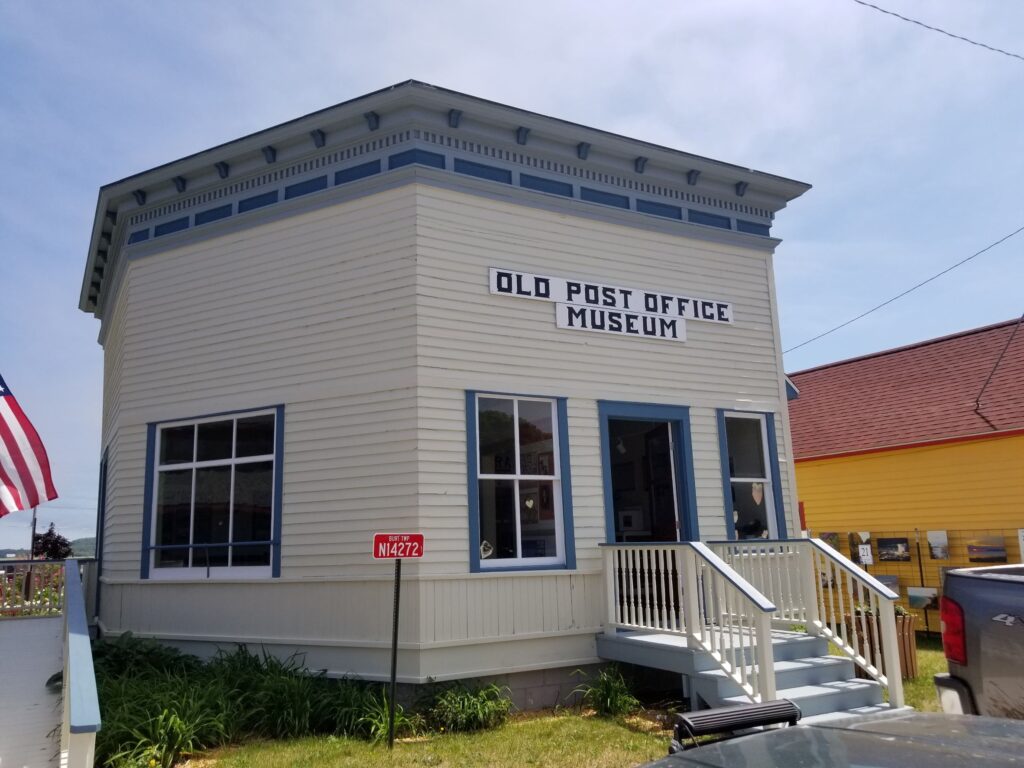
- Old Post Office Museum
- Downtown shopping and restaurants
-
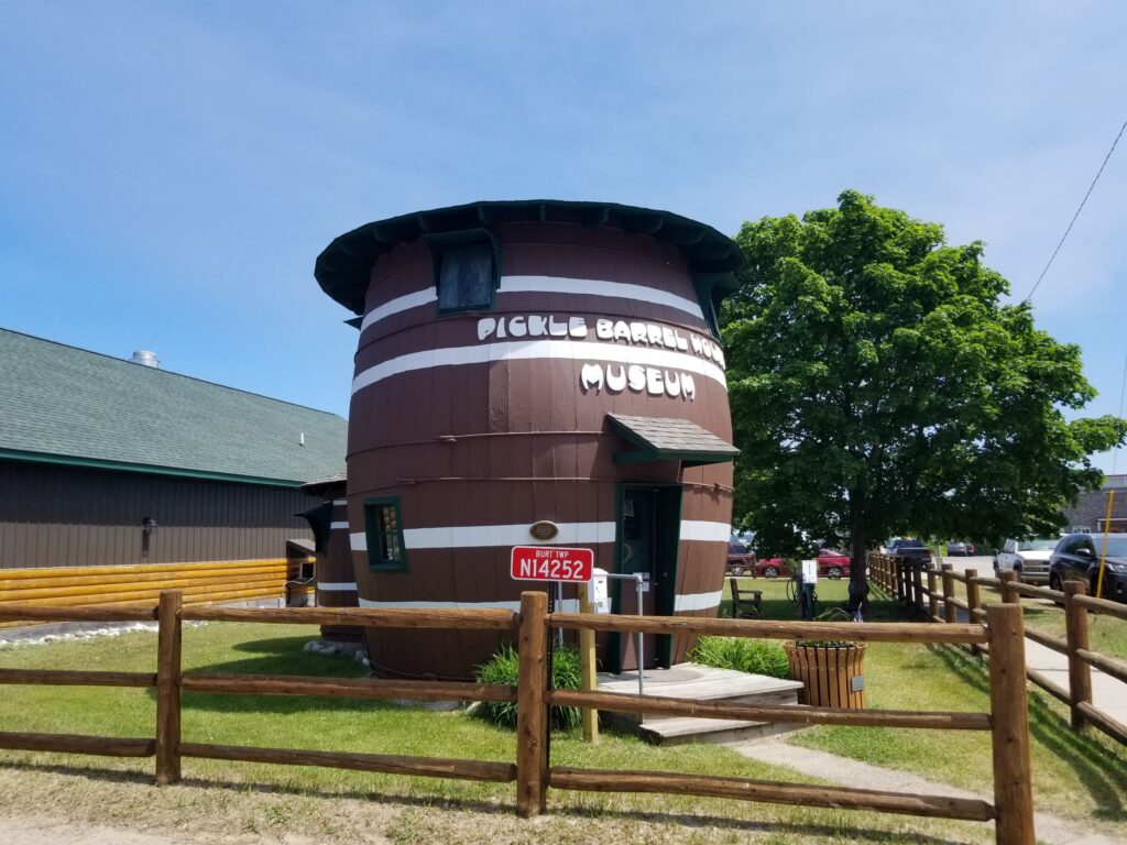
5. Grand Marais Roadside Attractions
-
-
- Pickle Barrel House Museum
- Gitche Gumee: Agate and History Museum
-